| Talladega County, Alabama | |
|
Talladega County Courthouse in Talladega
|
|
Location in the state of Alabama |
|
Alabama's location in the U.S. |
|
| Founded | December 18, 1832[1] |
|---|---|
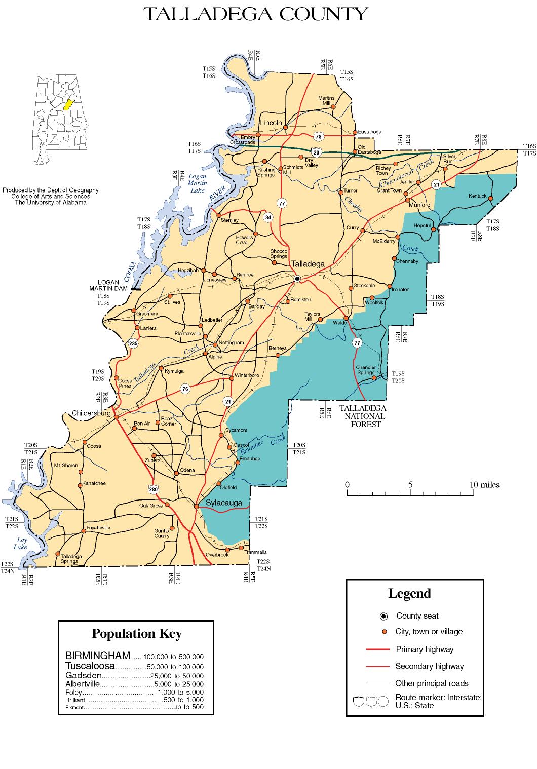
| Seat | Talladega |
| Largest city | Talladega |
| Area - Total - Land - Water |
760.25 sq mi (1,969 km²) 739.53 sq mi (1,915 km²) 20.72 sq mi (54 km²), (2.73%) |
| Population - (2010) - Density |
82,291 111/sq mi (42.9/km²) |
Talladega County is a county of the U.S. state of Alabama.[1] Talladega is a Muscogee (Creek) Native American word derived from TVLVTEKE, which means "border town." As of 2010, the population was 82,291. Its county seat is Talladega.[1]
Contents |
Prior to Euro-American settlement in what is today Talladega County it was the home of the Abihka tribe of the Creek Confederacy.[2]
Talladega County was established on December 18, 1832, from land ceded by the Creek Indians near the state's geographic center.[1] The county seat was established at Talladega in 1834.[1]
According to the 2000 census, the county has a total area of 760.25 square miles (1,969.0 km2), of which 739.53 square miles (1,915.4 km2) (or 97.27%) is land and 20.72 square miles (53.7 km2) (or 2.73%) is water.[3]
| Historical populations | |||
|---|---|---|---|
| Census | Pop. | %± | |
| 1840 | 12,587 |
|
|
| 1850 | 18,624 | 48.0% | |
| 1860 | 23,520 | 26.3% | |
| 1870 | 18,064 | −23.2% | |
| 1880 | 23,360 | 29.3% | |
| 1890 | 29,346 | 25.6% | |
| 1900 | 35,773 | 21.9% | |
| 1910 | 37,921 | 6.0% | |
| 1920 | 41,005 | 8.1% | |
| 1930 | 45,241 | 10.3% | |
| 1940 | 51,832 | 14.6% | |
| 1950 | 63,639 | 22.8% | |
| 1960 | 65,495 | 2.9% | |
| 1970 | 65,280 | −0.3% | |
| 1980 | 73,826 | 13.1% | |
| 1990 | 74,107 | 0.4% | |
| 2000 | 80,321 | 8.4% | |
| 2010 | 82,291 | 2.5% | |
| [4][5][6] | |||
As of the census[7] of 2000, there were 80,321 people, 30,674 households, and 21,901 families residing in the county. The population density was 109 people per square mile (42/km2). There were 34,469 housing units at an average density of 47 per square mile (18/km2). The racial makeup of the county was 67.02% White, 31.55% Black or African American, 0.23% Native American, 0.20% Asian, 0.02% Pacific Islander, 0.27% from other races, and 0.71% from two or more races. Nearly 1.01% of the population were Hispanic or Latino of any race.
According to the census[7] of 2000, the largest ancestry groups in Talladega County are:
There were 30,674 households, out of which 32.10% had children under the age of 18 living with them; 52.40% were married couples living together, 15.20% had a female householder with no husband present, and 28.60% were non-families. 25.90% of all households were made up of individuals, and 10.60% had someone living alone who was 65 years of age or older. The average household size was 2.50, and the average family size was 3.00.
In the county, the population was spread out with 25.00% under the age of 18, 9.00% from 18 to 24, 28.80% from 25 to 44, 23.90% from 45 to 64, and 13.30% who were 65 years of age or older. The median age was 37 years. For every 100 females, there were 95.70 males. For every 100 females age 18 and over, there were 93.50 males.
The median income for a household in the county was $31,628, and the median income for a family was $38,004. Males had a median income of $30,526 versus $21,040 for females. The per capita income for the county was $15,704. About 13.90% of families and 17.60% of the population were below the poverty line, including 24.70% of those under age 18 and 18.20% of those age 65 or over.
Talladega County is home to parts of Cheaha State Park, DeSoto Caverns, and the Talladega Superspeedway. Also, Alpine is famous for its location of the YMCA Camp Cosby site. It established in 1922. The county is home to many historic properties, including Idlewild, the J.L.M. Curry House, Kymulga Mill & Covered Bridge, and Swayne Hall, all listed on the National Register of Historic Places. Two sites not listed on the historic registers include the ruins of Mount Ida and Alpine Plantation.[8][9]
| St. Clair County | Calhoun County | Cleburne County | ||
| Clay County | ||||
| Talladega County, Alabama | ||||
| Shelby County | Coosa County |
|
||||||||||||||||||||||||||